Fire Weather

Red Flag Warning
Is a term used by fire meteorologists to bring attention to weather that may result in extreme burning conditions. It is issued when there is a high degree of confidence that Red Flag criteria will occur within 24 hours of issuance. Criteria include but are not limited to:
- Sustained wind averaging 15 mph or greater
- Relative humidity less than 25%
- Temperature greater than 75F
- Dry lighting and/or unstable air
A Fire Weather Watch may be issued when there is high potential for development of Red Flag criteria within the next 12 - 72 hours.
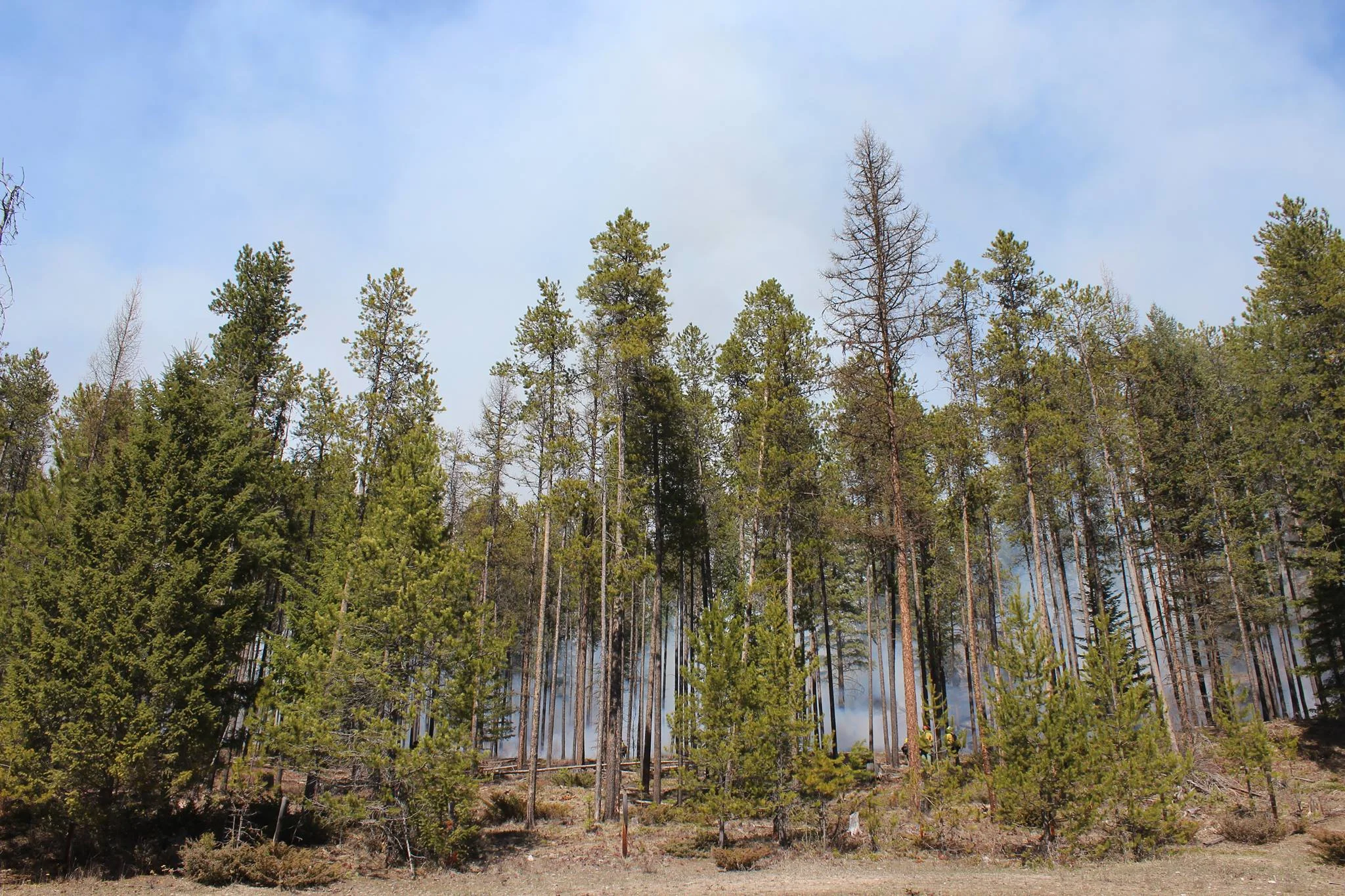
FIRE WEATHER - Fire weather is the use of meteorological parameters such as relative humidity, wind speed and direction, mixing heights, and soil moisture to determine whether conditions are favorable for fire growth and smoke dispersion. Fire managers track weather closely each day and throughout the season to anticipate fire behavior and plan appropriately.
Check out the daily fire weather narrative HERE or the most current Predictive Services weather briefing for the Northern Rockies Geographic Area HERE.
MORE ON FIRE WEATHER:
The Lightning Activity Level (LAL) is an objective rating system used in the National Fire Danger Rating System (NFDRS) that indicates the amount of cloud-to-ground lightning observed or forecast in a given area.
Haines Index is a lower atmospheric stability and dryness index that can be one predictor of large fire growth.